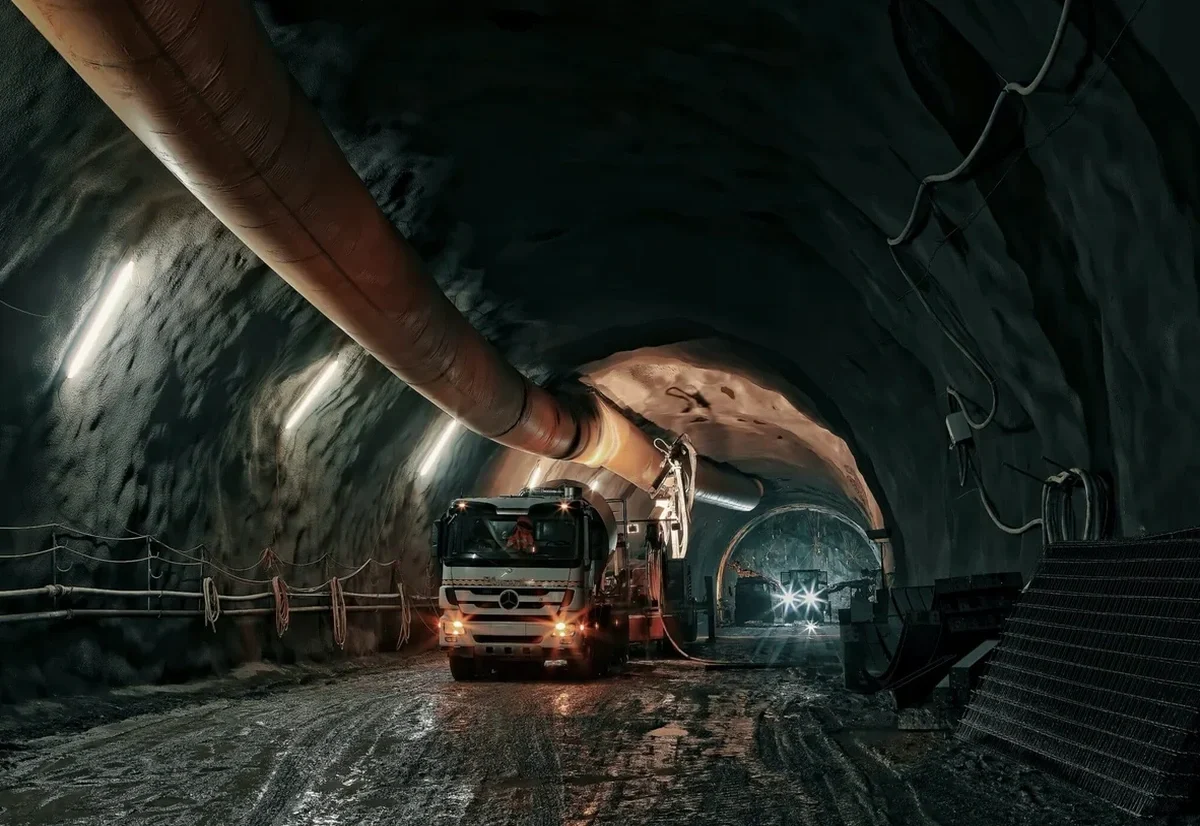
A tunnel boring machine hit a pocket of saturated silt near the Thompson River last fall, and the face lost stability in less than two hours. That kind of thing stays with you. Around Kamloops, the subsurface is a patchwork of glacial lake sediments, river alluvium, and compact till—and the soft zones don't announce themselves until you're already in them. For a city bisected by steep terrain and two major waterways, tunneling through weak ground is less an engineering exercise and more a conversation with the geology itself. Our lab team runs the full suite of soil characterization tests—triaxial, consolidation, Atterberg limits—so the ground model isn't guesswork. When the alignment crosses lacustrine clay, we often pair core logging with CPT testing to catch transitional layers that boreholes miss, and we rely on in-situ permeability tests to confirm pore pressure assumptions before the job reaches the critical stage.
Around the Thompson Valley, the difference between a squeeze and stable advance often comes down to how well you characterized the transition zone between till and lacustrine clay—that contact is where most tunnel headaches begin.